Large detailed map of the United Kingdom
We offer you free and good quality world maps, continents and countries. Many geographical maps to download and print for free.


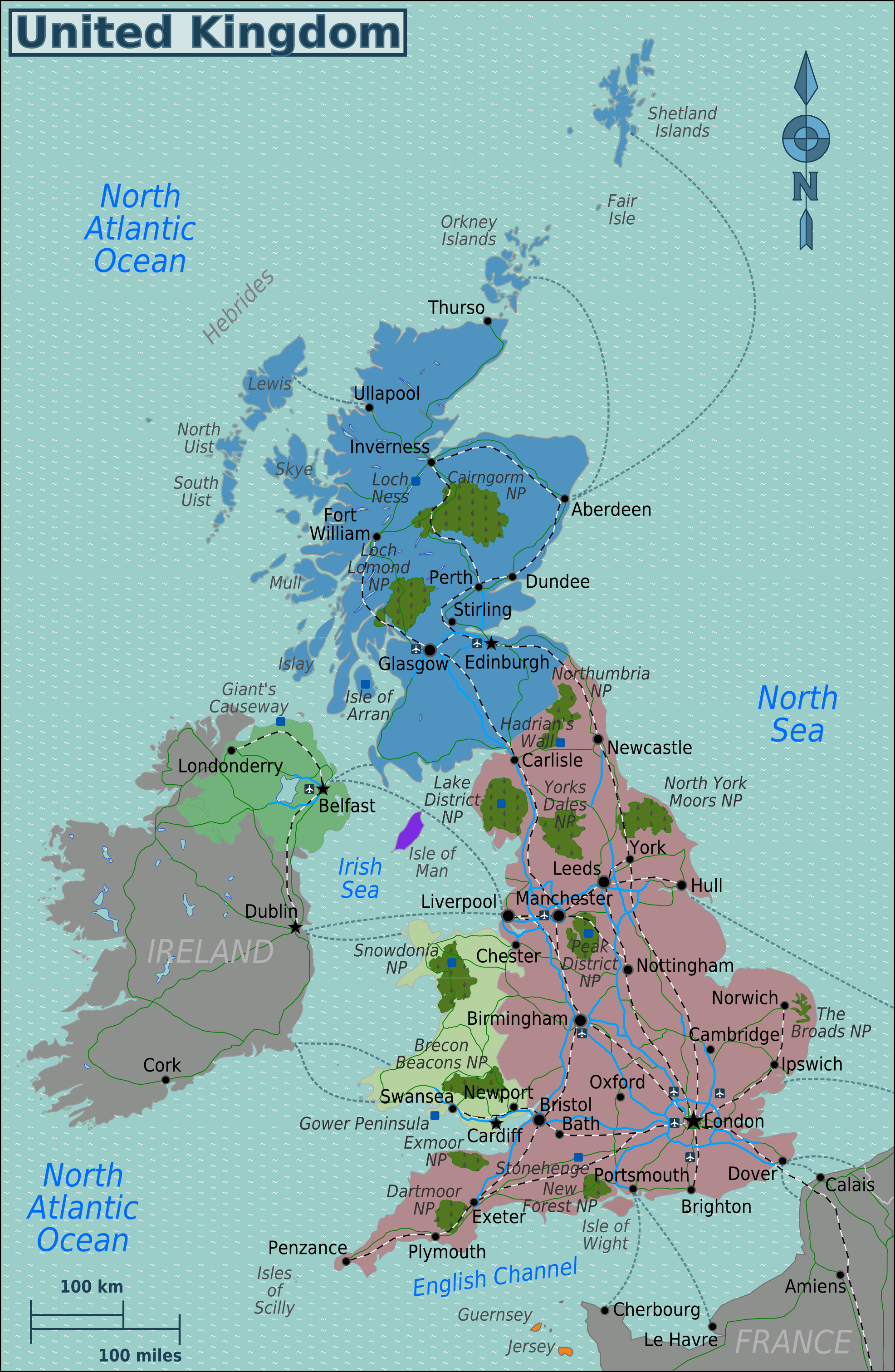
UK map with roads and cities

Download: JPG (783 x 1200 pixels) | JPG (1973 x 3023 pixels) | PNG
Description: Map of United Kingdom with cities, roads, forests and airports.
License: CC BY-SA 3.0
Author: Burmesedays
Source file: Wikimedia Commons (view)
Description: Map of United Kingdom with cities, roads, forests and airports.
License: CC BY-SA 3.0
Author: Burmesedays
Source file: Wikimedia Commons (view)
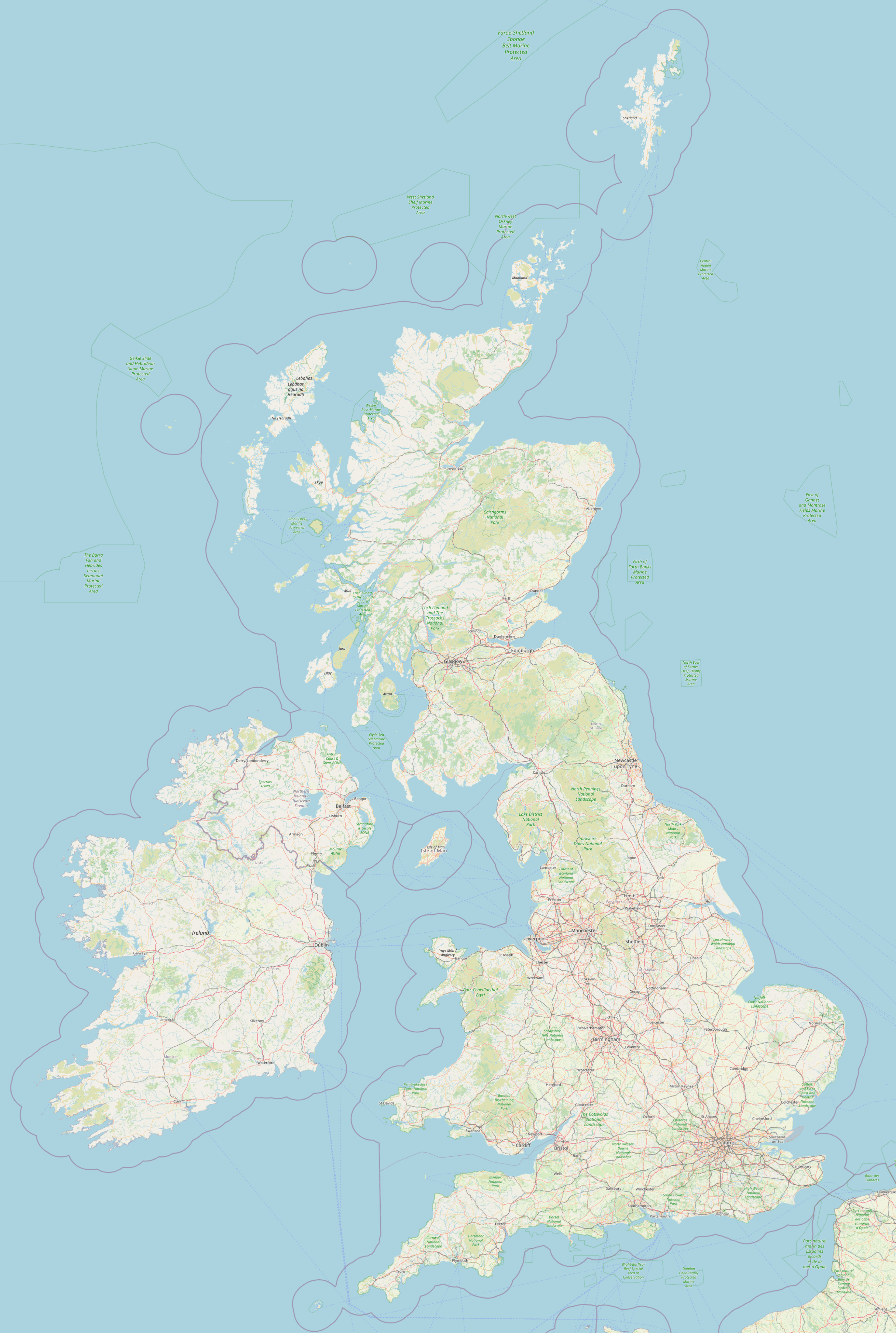
Detailed United Kingdom map

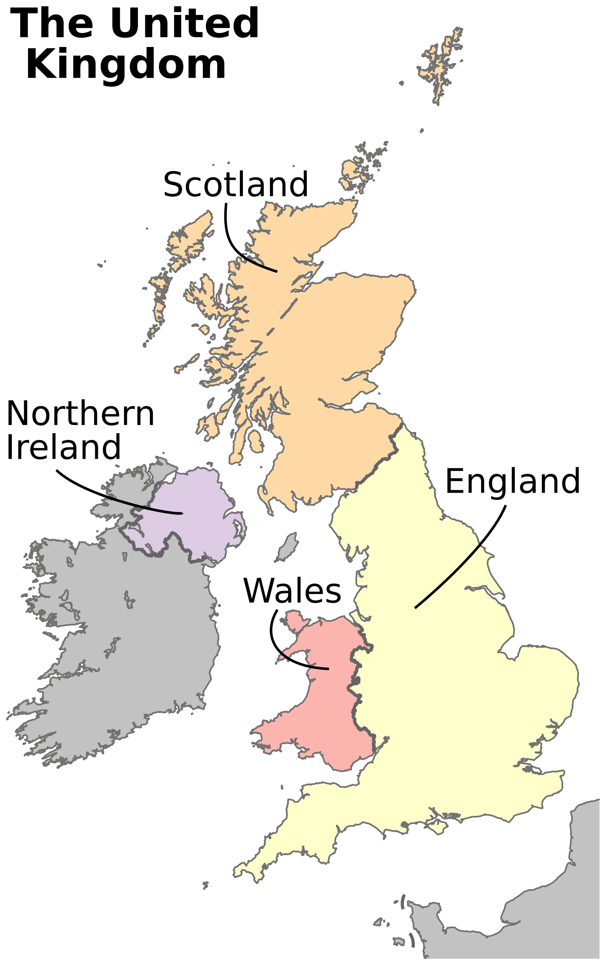
United Kingdom map with 4 countries

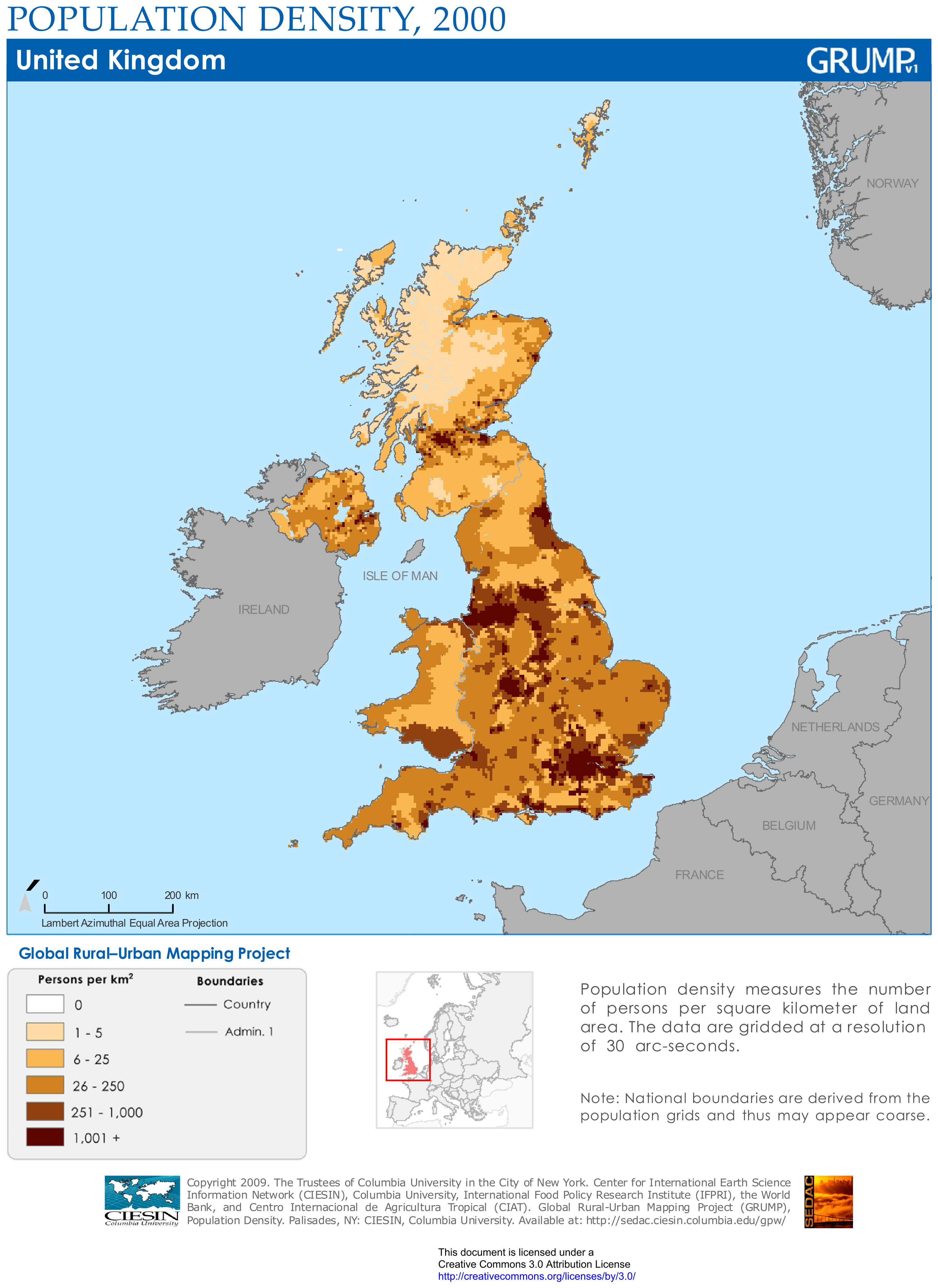
United Kingdom population density map

Download: JPG (874 x 1200 pixels) | JPG (3045 x 4182 pixels) | PNG | PDF
Description: Map of the United Kingdom with population density per square kilometer in 2000.
License: CC BY 3.0
Author: Center for International Earth Science Information Network (CIESIN)
Source file: Columbia University of New York (view)
Description: Map of the United Kingdom with population density per square kilometer in 2000.
License: CC BY 3.0
Author: Center for International Earth Science Information Network (CIESIN)
Source file: Columbia University of New York (view)