Maps of the world and countries
We offer you free and good quality world maps, continents and countries. Many geographical maps to download and print for free.


World map political 2024

Detailed world map

Central America map

Download: JPG (1200 x 929 pixels) | JPG (2440 x 1889 pixels) | PNG | PDF
Description: Political map of Central America and the Caribbean with countries in color, capitals, major cities, lakes and rivers.
License: Royalty free
Author: US Government, Central Intelligence Agency
Source file: The World Factbook 2020 Central Intelligence Agency.
Description: Political map of Central America and the Caribbean with countries in color, capitals, major cities, lakes and rivers.
License: Royalty free
Author: US Government, Central Intelligence Agency
Source file: The World Factbook 2020 Central Intelligence Agency.
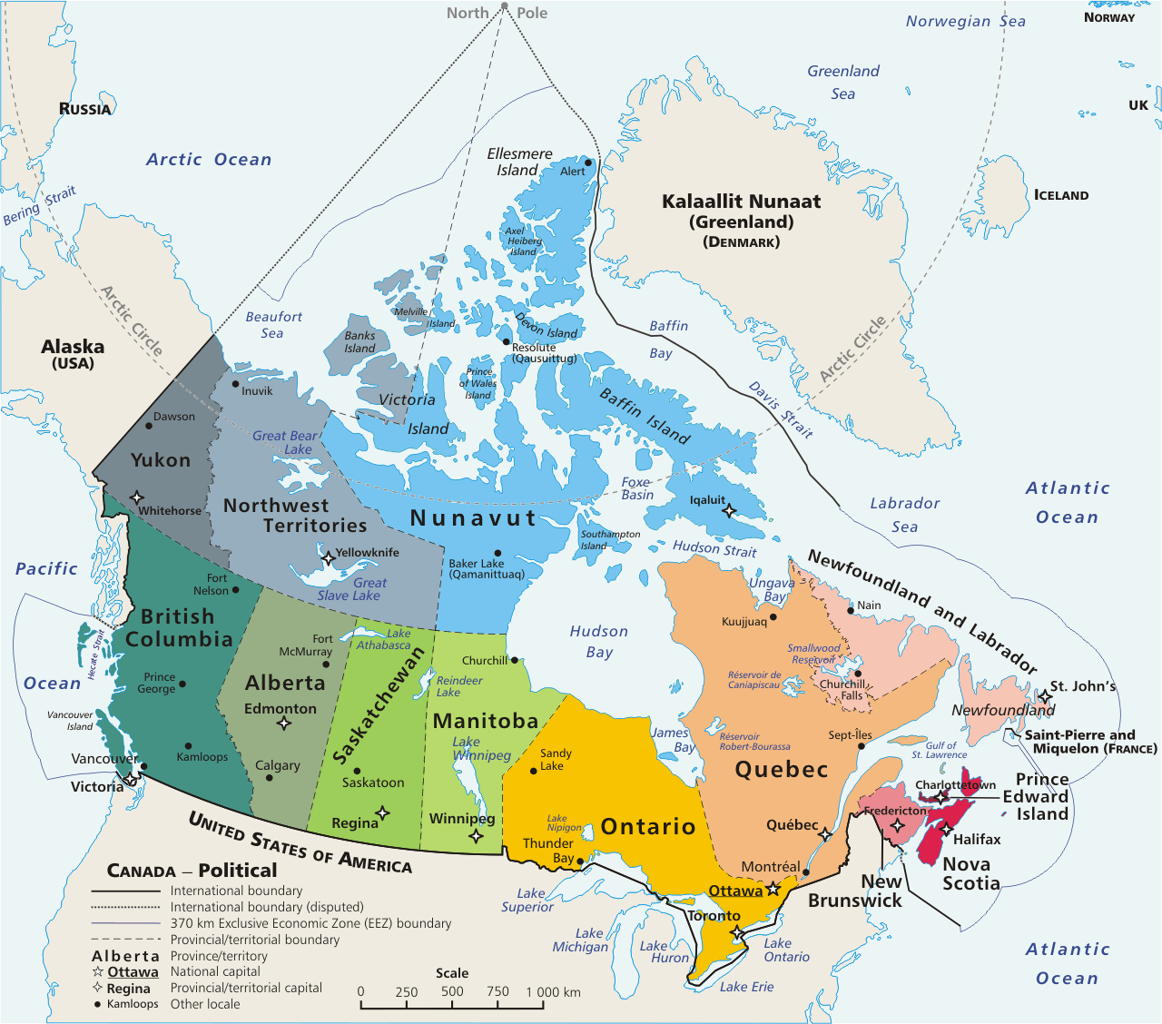
Political map of Canada